In the previous post, I mentioned how Lawlor’s Island is uniquely unknown among Halifax’s harbour islands — it’s overlooked in public discourse and seems to be absent from public memory.
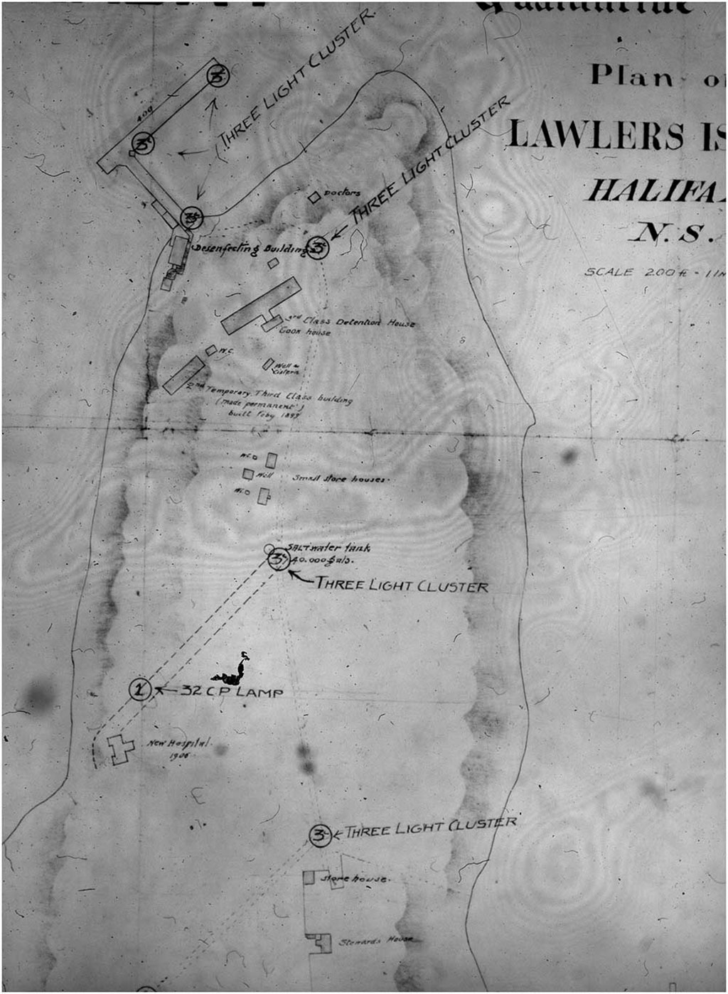
We took on a very basic survey of the island to establish what features of the quarantine island still exist. This process involved a few steps. We needed to do basic archival research to establish what the quarantine station looked like when it was operating. Just landing on a historic site and wandering around may be fun, but it’s no way to run a railroad when it comes to locating specific features. So, we had to work with Ian Cameron’s existing book on the topic, and we did some dedicated research using materials at Library and Archives Canada, too. These gave us historical maps of the island as well as building plans for all the major structures. After we finished the historical research and had a good idea of what the major features of the quarantine facility were, and where they were located on the island, we had to obtain good-quality modern maps and blend the old and new maps so that we could predict the location of features now.
Lawlor’s island is a tiny place, but it still manages to be right on the edge between not two but three separate standard topographical maps. Fortunately, with expert help (thank you, Saint Mary’s University (SMU) Department of Geography) it’s possible to combine the electronic sources of the maps and produce a single modern map that the team could use to orient themselves and mark locations as needed.
Maps and information are great, but there are three other really important components of getting this kind of project done: permits, people and logistics. Lawlor’s island is currently designated under Nova Scotia’s special places legislation, so we needed a permit just to go to the island. Any archaeological work — even a surface survey like ours, technically called an “archaeological reconnaissance” — needs a permit, too. Fortunately, the process for obtaining the permits is straightforward and the people involved were not only helpful and professional, but also really enthusiastic to learn more about the island. (Thanks to Brian Kinsman of Nova Scotia’s Department of Natural Resources and to Laura Bennett and others at the Department of Communities, Culture and Heritage!)
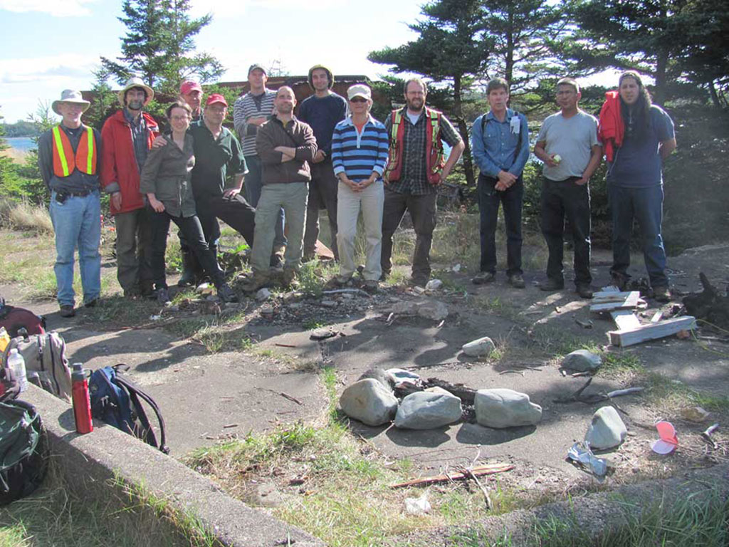
People — and people with the right skills — were essential to this project. We were really lucky to have several experienced archaeologists and a number of experienced historians volunteer to support the project. By myself, I could do the research and so on to guess where the buildings were. I could probably go out and find them on the island. But the process of surveying and reporting the features properly…it’s a good thing we had a number of generous professionals along! We even had the help of an experienced ethnologist to run a coastal survey looking for traces of Mi’kmaq use of the island.
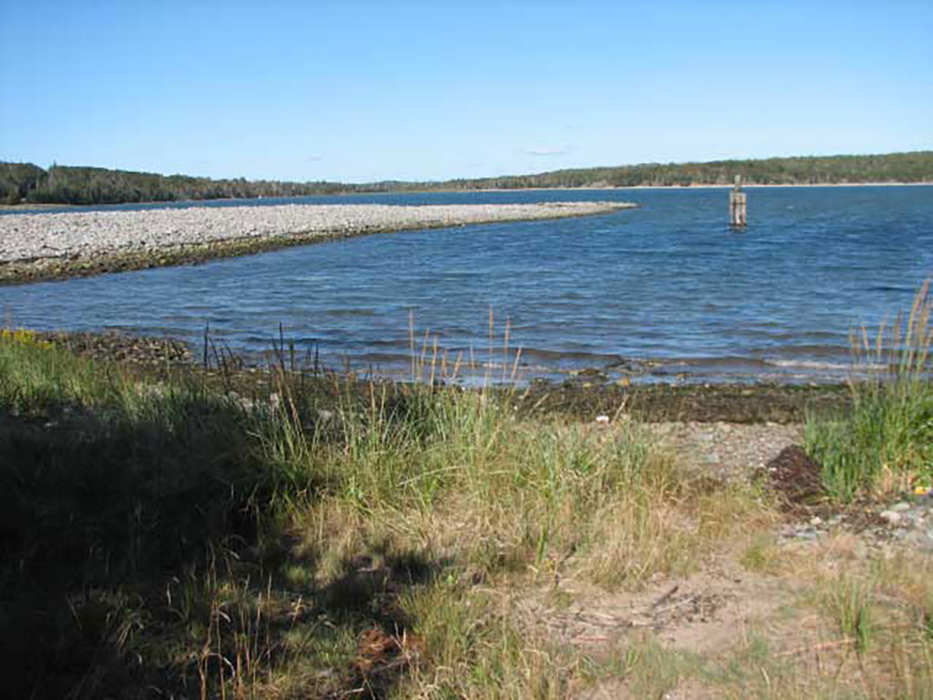
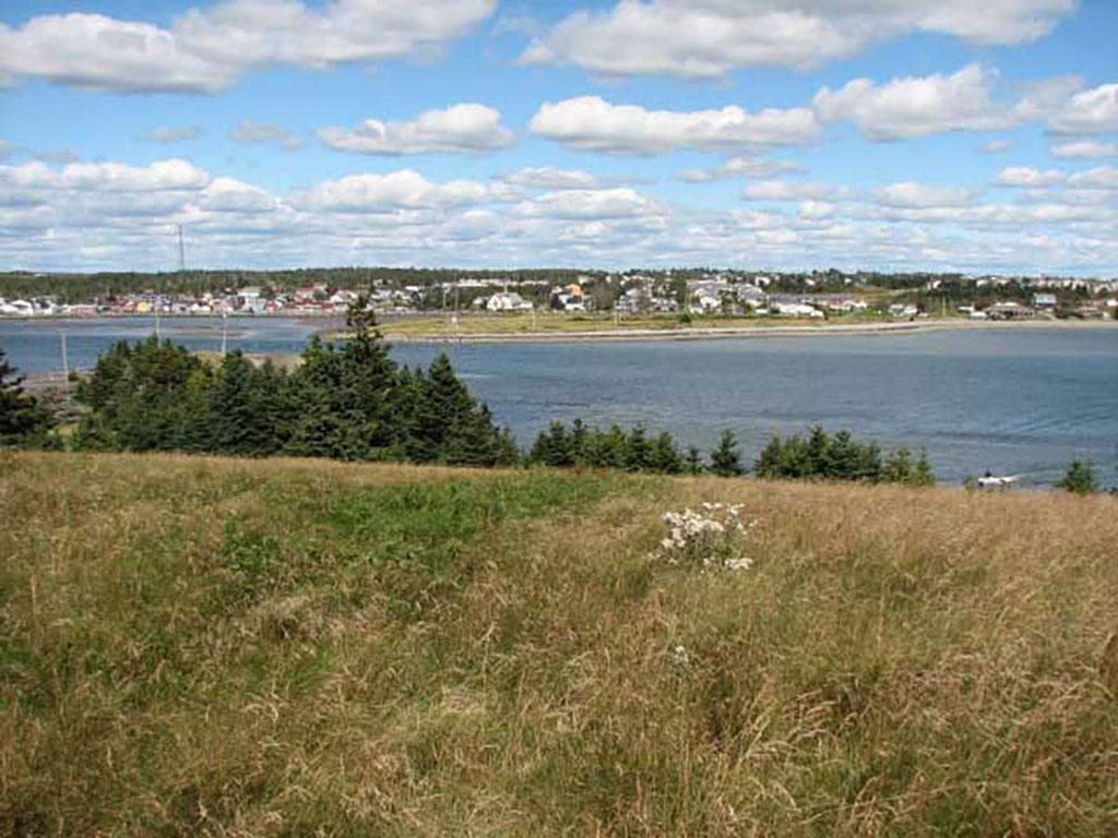
Logistics were less difficult than I had feared: Lawlor’s Island is only a few minutes’ boat ride from Eastern Passage, and our team was small enough that two quick trips back and forth moved all of us and our gear to and from the island. We were even able to bring along a little propane stove to grill lunch!
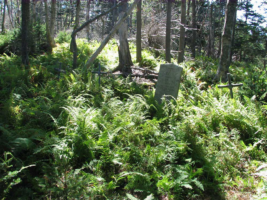
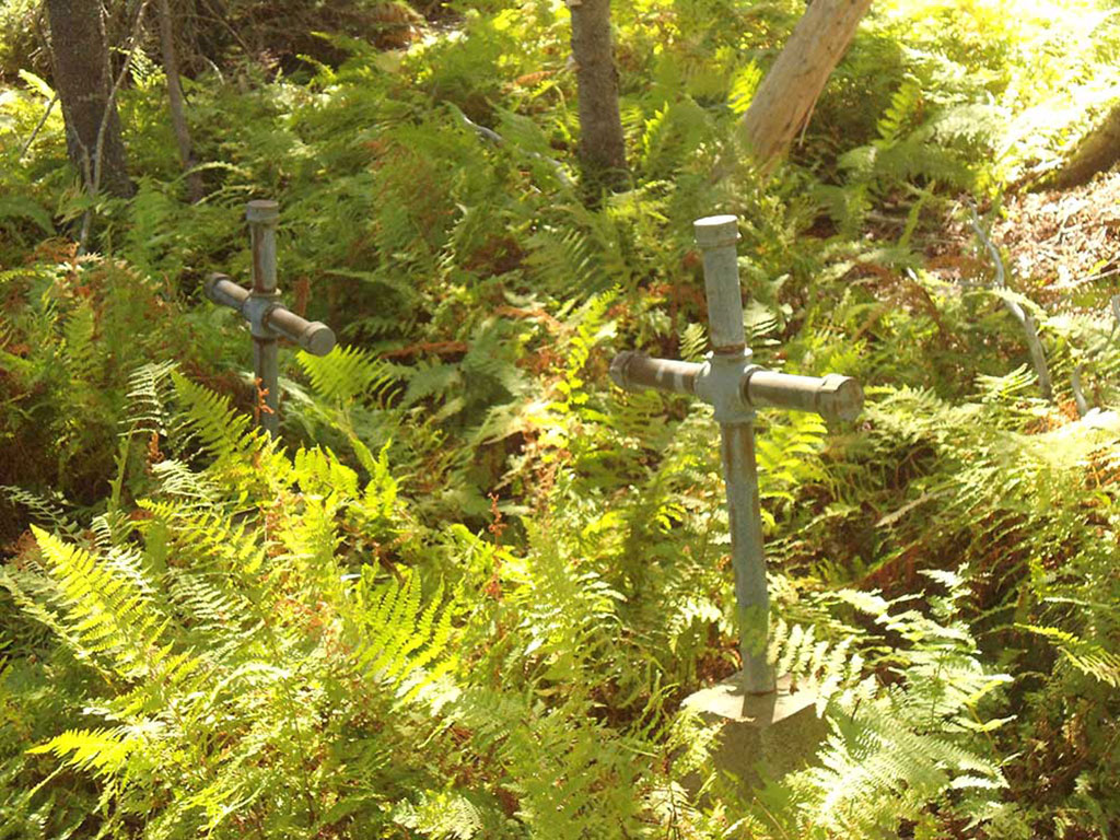
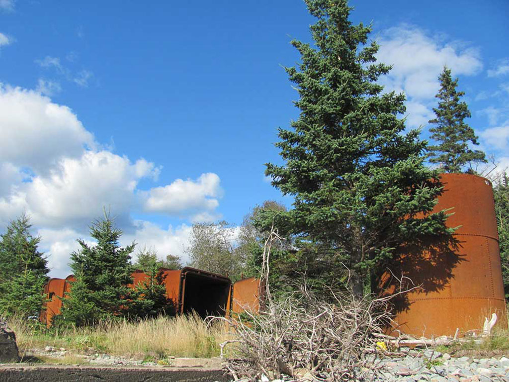
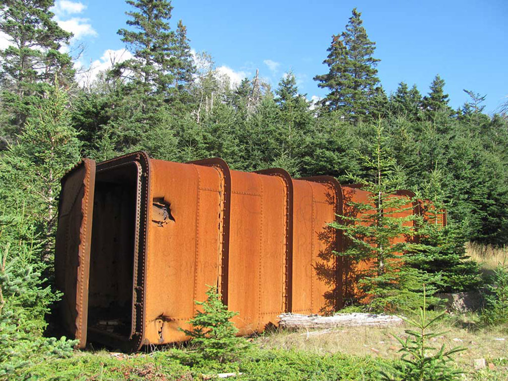
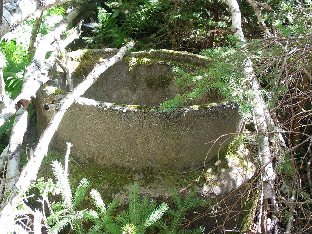
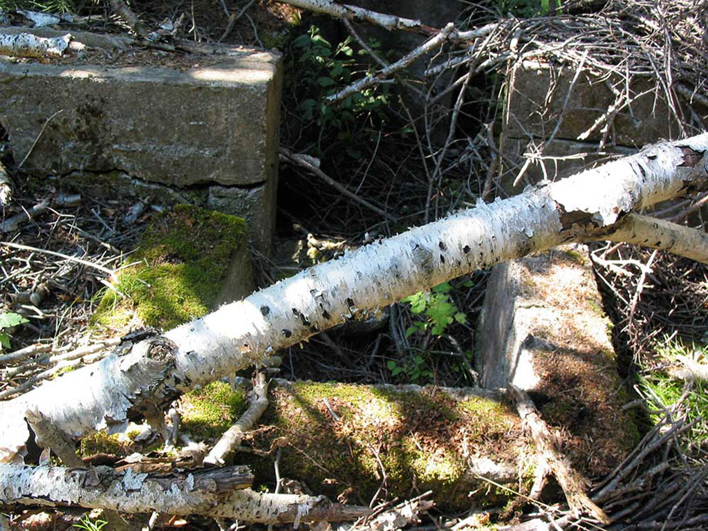
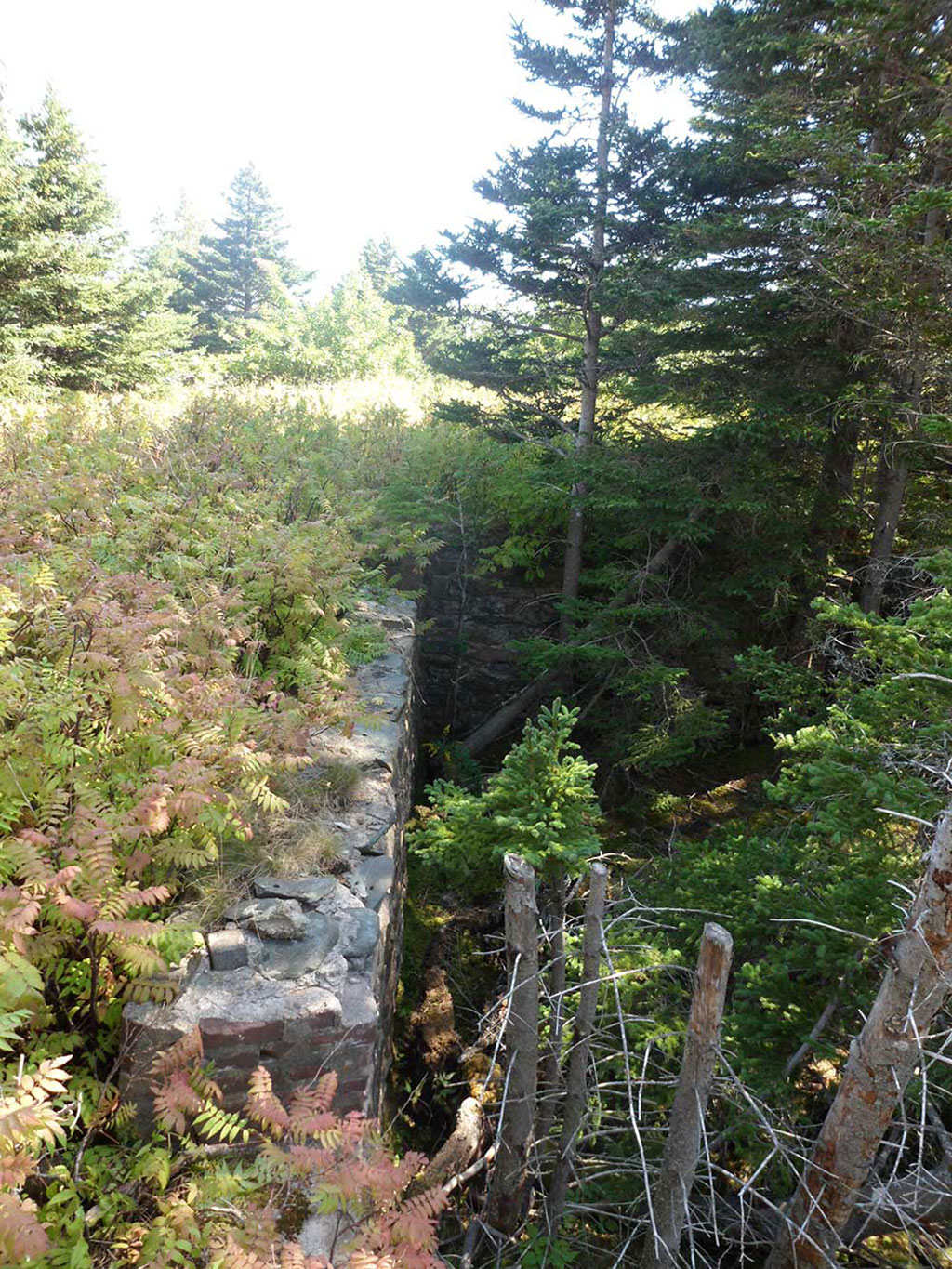
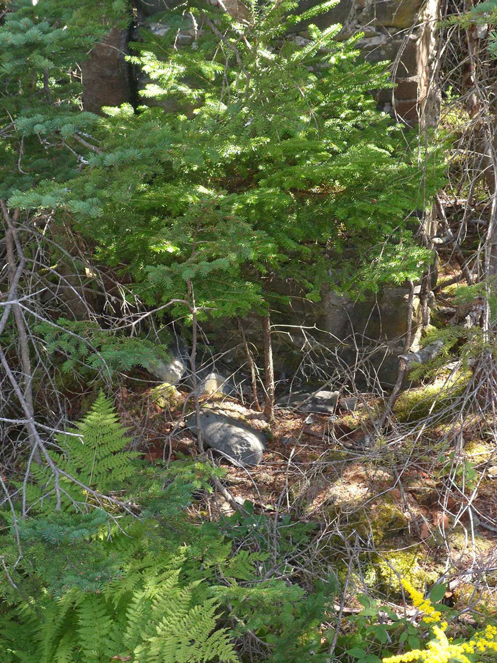
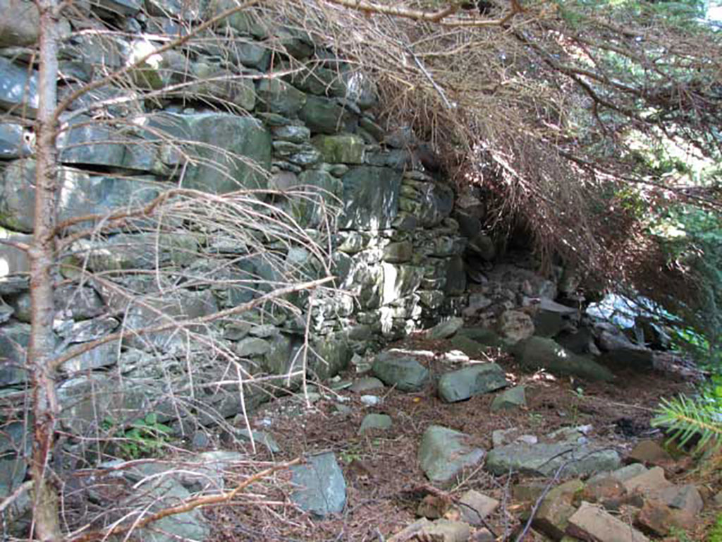
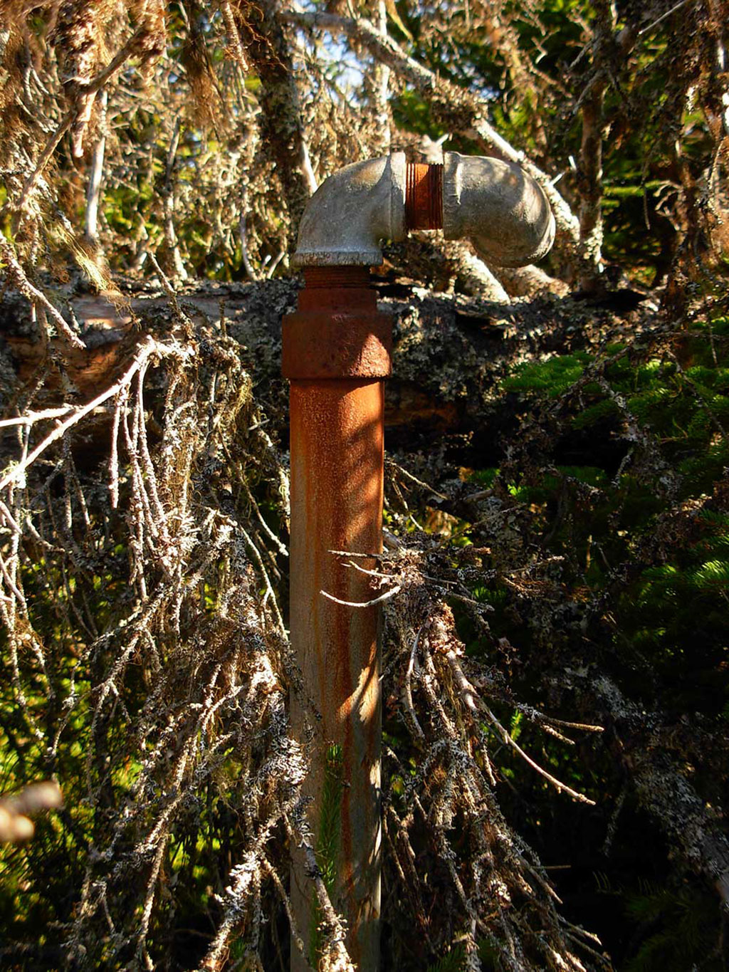
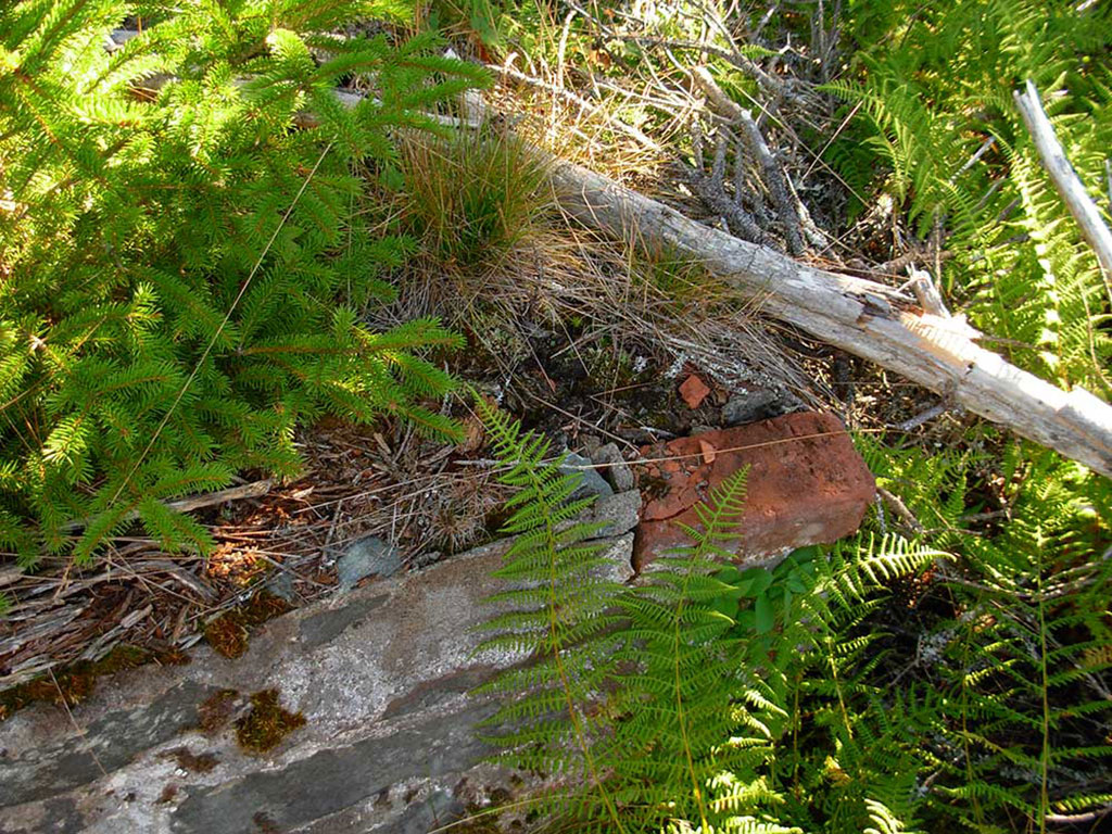
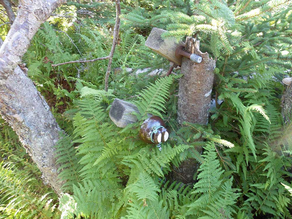
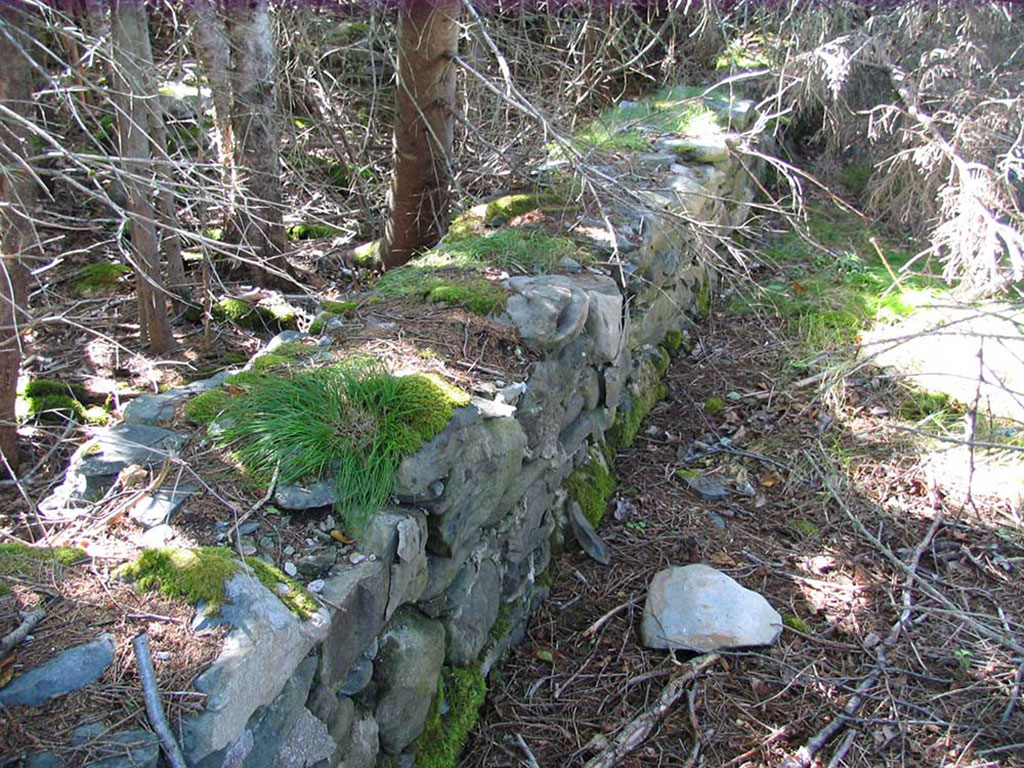
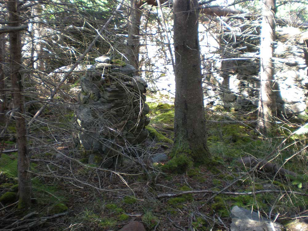
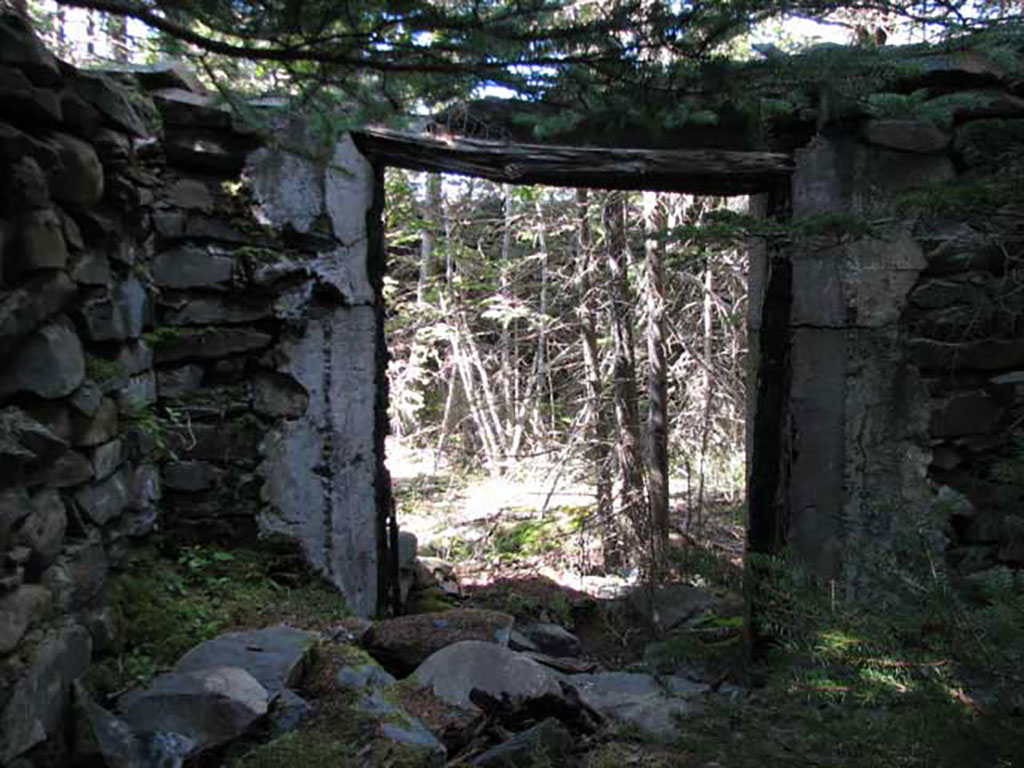
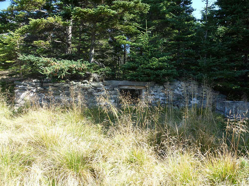
All the pieces came together well, and as a result, we located most of the major historical features of the quarantine facility quickly. Check out the gallery to see some of our results and learn a little bit about the features we found.
Steve Schwinghamer

Steve Schwinghamer is a historian at the Canadian Museum of Immigration and is affiliated with the Centre for Oral History and Digital Storytelling at Concordia University. With Jan Raska, he co-authored Pier 21: A History. He is interested in the policies and places of Canadian immigration, especially in the 20th century.